
Sea Routes
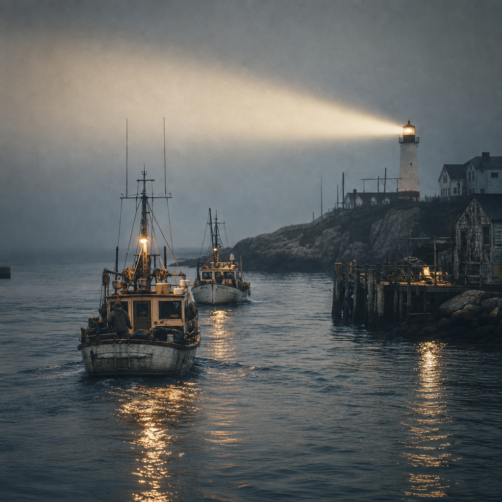
Beacon records tracing cargo lanes, fishing passages, and harbor approaches along the northern coast.
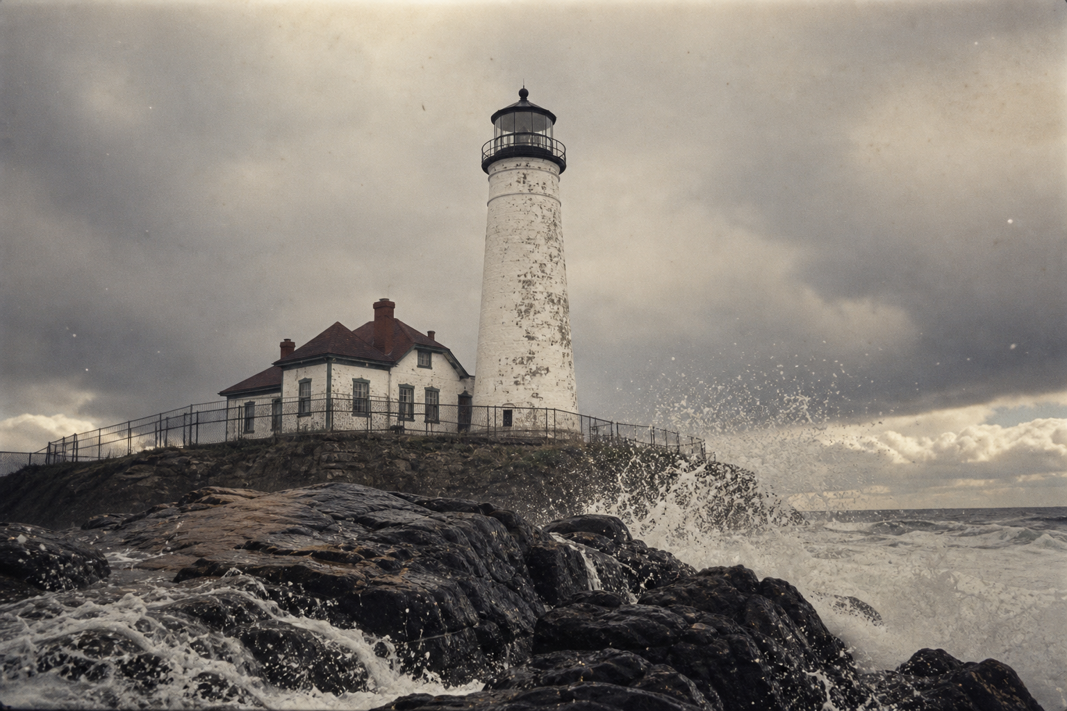
Explore shoreline archives through historic photographs, keeper stories, and a map of preserved towers still standing against the sea.
From weather-worn lantern rooms to handwritten watch notes, this archive follows how light, memory, and coastal communities shaped the northern edge. Scroll to trace each beacon by place, era, and lived account.
A quick index of recurring lighthouse records—from shipping passages to daily watch logs and the towers that still stand.
Beacon records tracing cargo lanes, fishing passages, and harbor approaches along the northern coast.
Fog, gales, and tide notes reveal how light stations tracked shifting coastal conditions.
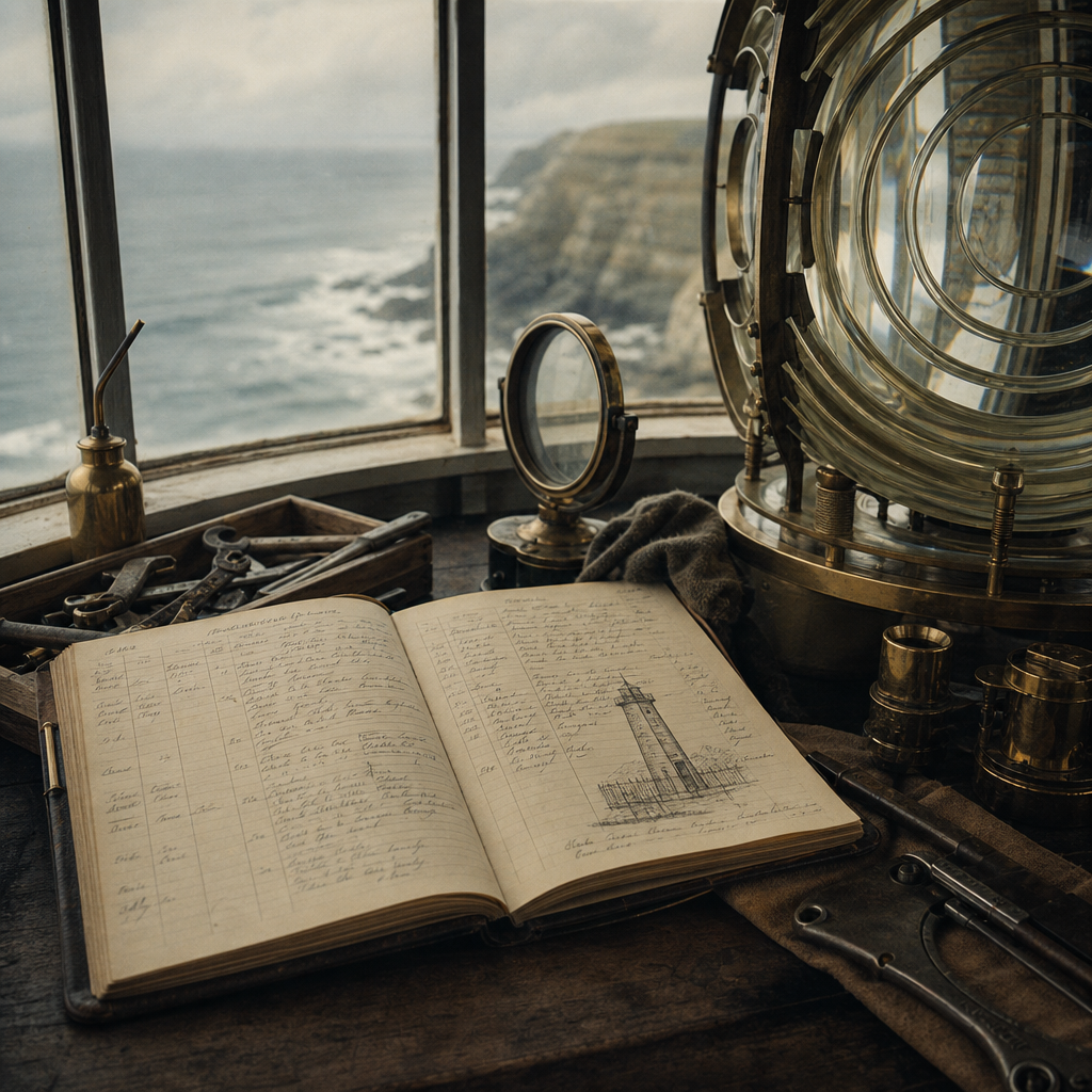
Logbook excerpts capture lamp tending, signal checks, repairs, and long night watches.
Preservation snapshots highlight the lighthouse structures still standing across key headlands.
Coast History
From early timber beacons to engineered cliff towers, each phase reflects changing trade routes, weather risks, and keeper life along the coast.
Phase 1 · 1790s–1820s
Simple wood platforms and coal braziers marked harbor mouths, giving local pilots their first repeatable night reference points.
Phase 2 · 1830s–1860s
Public works crews replaced fragile beacons with stone towers at dangerous headlands where wreck reports were most frequent.
Phase 3 · 1870s–1910s
Fresnel optics and standardized lantern rooms extended visibility, linking the coast into a coordinated chain of navigation beacons.
Phase 4 · 1920s–Present
As lights became automated, communities shifted toward conservation, restoring towers as historic landmarks and coastal memory sites.
By four, the brass trim was warm from polishing cloth. Salt fog still held the stairs, and every pane was checked twice. If gulls could be heard, the weather had already shifted.
Notes attributed to the Hales family ledger, c. 1910s
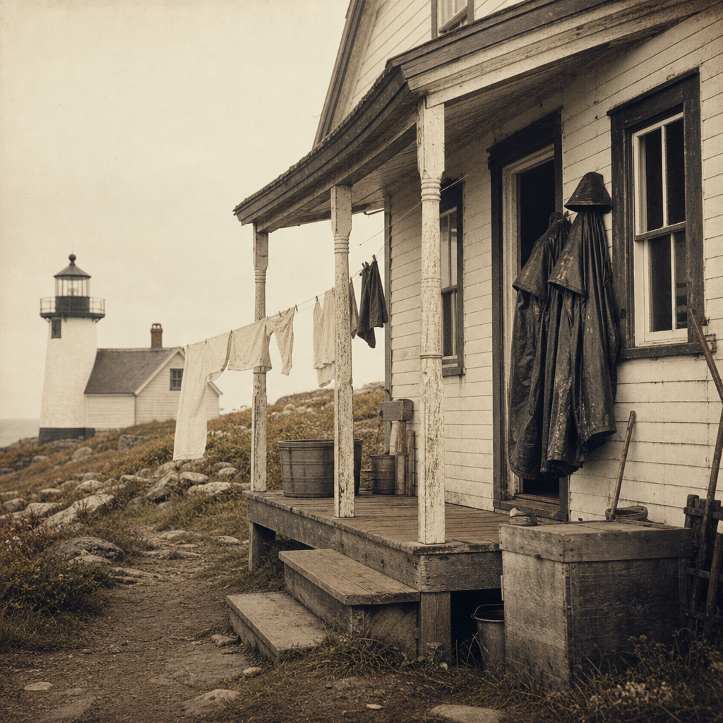
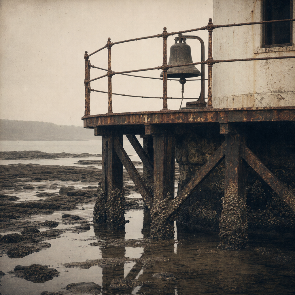
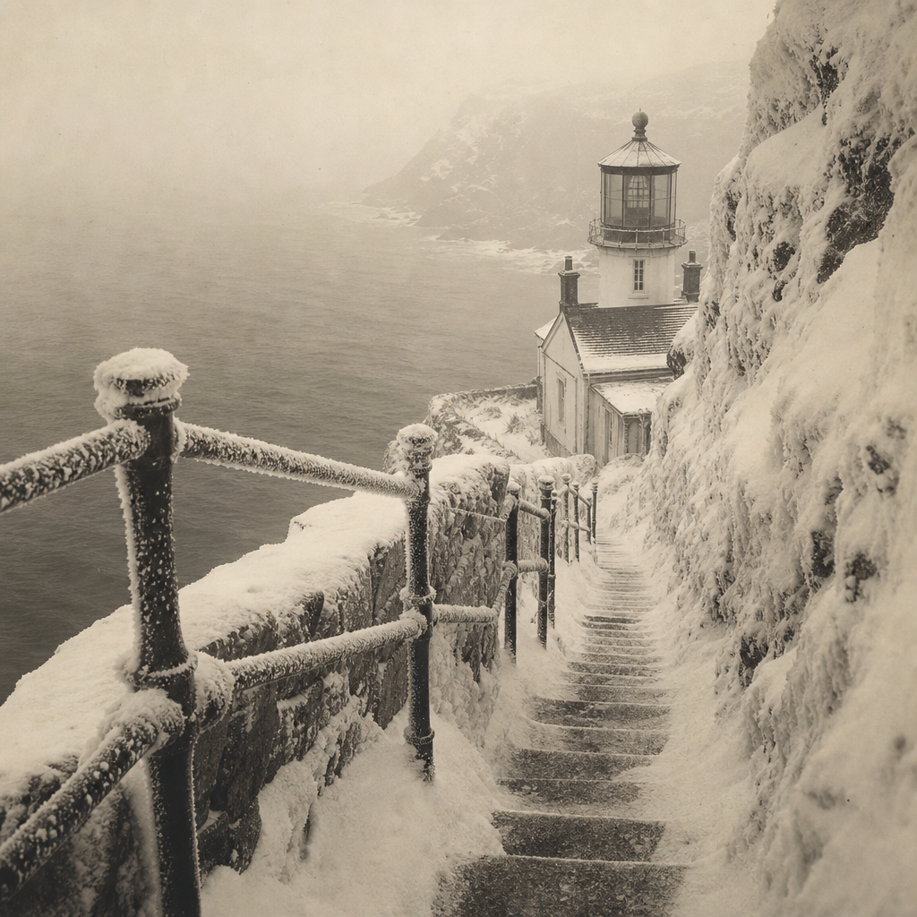
During sleet weeks, boots lined the entry in pairs by shift. The kettle stayed on the back stove for hands gone stiff from rails. Bell checks were called across the yard before each turn.
Recalled by Maren Cole, granddaughter of a station assistant
At dusk, wicks were trimmed by habit more than by clock. One keeper read the sea first, another read the flame. Both entries met in the same margin before midnight.
Station memorandum shared by the Orin coast registry family papers
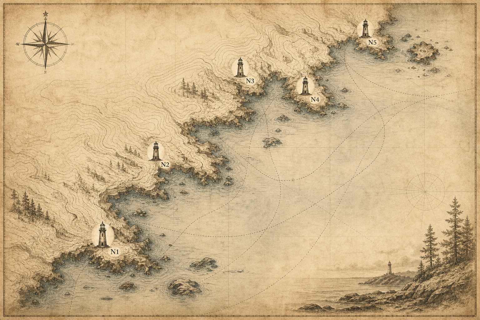
Shoreline Archives
Six preserved moments from the northern coast collection, arranged like catalog prints to be read slowly, image by image.
Visit notes
Practical notes for planning a respectful lighthouse visit, from access and weather to preservation-minded photography.